Please use this identifier to cite or link to this item:
https://zone.biblio.laurentian.ca/handle/10219/1940Full metadata record
| DC Field | Value | Language |
|---|---|---|
| dc.contributor | Winterhalder, Keith | en_CA |
| dc.coverage.spatial | Coniston | en_CA |
| dc.coverage.spatial | 46o29.5’N 80o52.3’W | en_CA |
| dc.coverage.spatial | From above Intercity to north "Intercity" site. Top of ridge, 1.75 km W of Coniston, 0.5 km S of Highway 17E | en_CA |
| dc.date.accessioned | 2014-10-24T19:38:19Z | - |
| dc.date.available | 2014-10-24T19:38:19Z | - |
| dc.date.created | 1979-08-26 | en_CA |
| dc.date.issued | 2014-10-24 | - |
| dc.identifier | 421 | en_CA |
| dc.identifier.uri | https://zone.biblio.laurentian.ca/dspace/handle/10219/1940 | - |
| dc.description | Pre-treatment | en_CA |
| dc.title | RECL 15 - 26-Aug-79 | en_CA |
| dc.type | Image | en_CA |
| Appears in Collections: | Keith Winterhalder Land Reclamation Photos | |
Files in This Item:
| File | Description | Size | Format | |
|---|---|---|---|---|
| Keith_Winterhalder_Sudbury_Land_Reclamation0421m.jpg | 181.74 kB | JPEG | 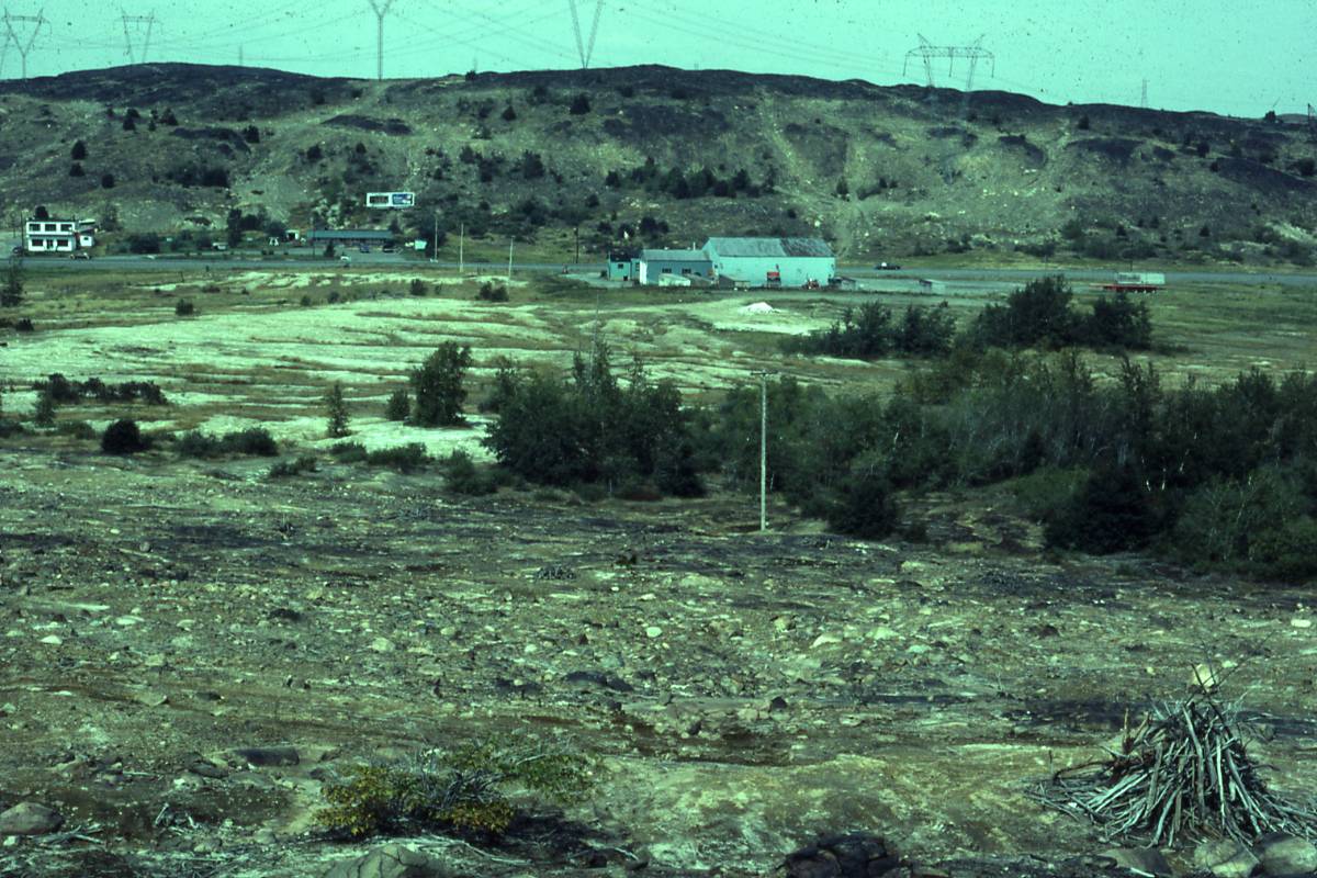 View/Open |
Items in LU|ZONE|UL are protected by copyright, with all rights reserved, unless otherwise indicated.