Please use this identifier to cite or link to this item:
https://zone.biblio.laurentian.ca/handle/10219/1751Full metadata record
| DC Field | Value | Language |
|---|---|---|
| dc.contributor | Winterhalder, Keith | en_CA |
| dc.coverage.spatial | Copper Cliff | en_CA |
| dc.coverage.spatial | Highway 17W, looking north from black rock, well east of Engineering Building rock cut | en_CA |
| dc.coverage.spatial | 17W | en_CA |
| dc.date.accessioned | 2014-10-24T19:38:22Z | - |
| dc.date.available | 2014-10-24T19:38:22Z | - |
| dc.date.created | 1983-07-10T06:49-04:00 | en_CA |
| dc.date.issued | 2014-10-24 | - |
| dc.identifier | 1143 | en_CA |
| dc.identifier.uri | https://zone.biblio.laurentian.ca/dspace/handle/10219/1751 | - |
| dc.description | Grass, but yellowish (typical 17W?) | en_CA |
| dc.title | RECL 152A - 10-Jul-83 | en_CA |
| dc.type | Image | en_CA |
| Appears in Collections: | Keith Winterhalder Land Reclamation Photos | |
Files in This Item:
| File | Description | Size | Format | |
|---|---|---|---|---|
| Keith_Winterhalder_Sudbury_Land_Reclamation1143m.jpg | 139.53 kB | JPEG | 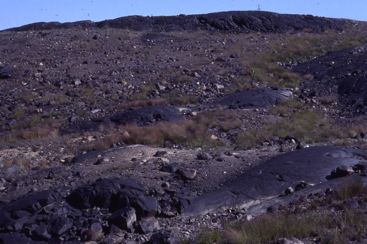 View/Open |
Items in LU|ZONE|UL are protected by copyright, with all rights reserved, unless otherwise indicated.