Please use this identifier to cite or link to this item:
https://zone.biblio.laurentian.ca/handle/10219/1442Full metadata record
| DC Field | Value | Language |
|---|---|---|
| dc.contributor | Winterhalder, Keith | en_CA |
| dc.coverage.spatial | Wahnapitae | en_CA |
| dc.coverage.spatial | Stanfield site, Highway 17 E (north side), west of cairn from rock at edge, looking southeast (same rock as RECL 1). Vertical. | en_CA |
| dc.coverage.spatial | S-F | en_CA |
| dc.date.accessioned | 2014-10-24T19:38:44Z | - |
| dc.date.available | 2014-10-24T19:38:44Z | - |
| dc.date.created | 1987-08-25T12:28-04:00 | en_CA |
| dc.date.issued | 2014-10-24 | - |
| dc.identifier | 864 | en_CA |
| dc.identifier.uri | https://zone.biblio.laurentian.ca/dspace/handle/10219/1442 | - |
| dc.description | Sawfly damage?? | en_CA |
| dc.title | RECL 109 - 25-Aug-87 | en_CA |
| dc.type | Image | en_CA |
| Appears in Collections: | Keith Winterhalder Land Reclamation Photos | |
Files in This Item:
| File | Description | Size | Format | |
|---|---|---|---|---|
| Keith_Winterhalder_Sudbury_Land_Reclamation0864m.jpg | 226.93 kB | JPEG | 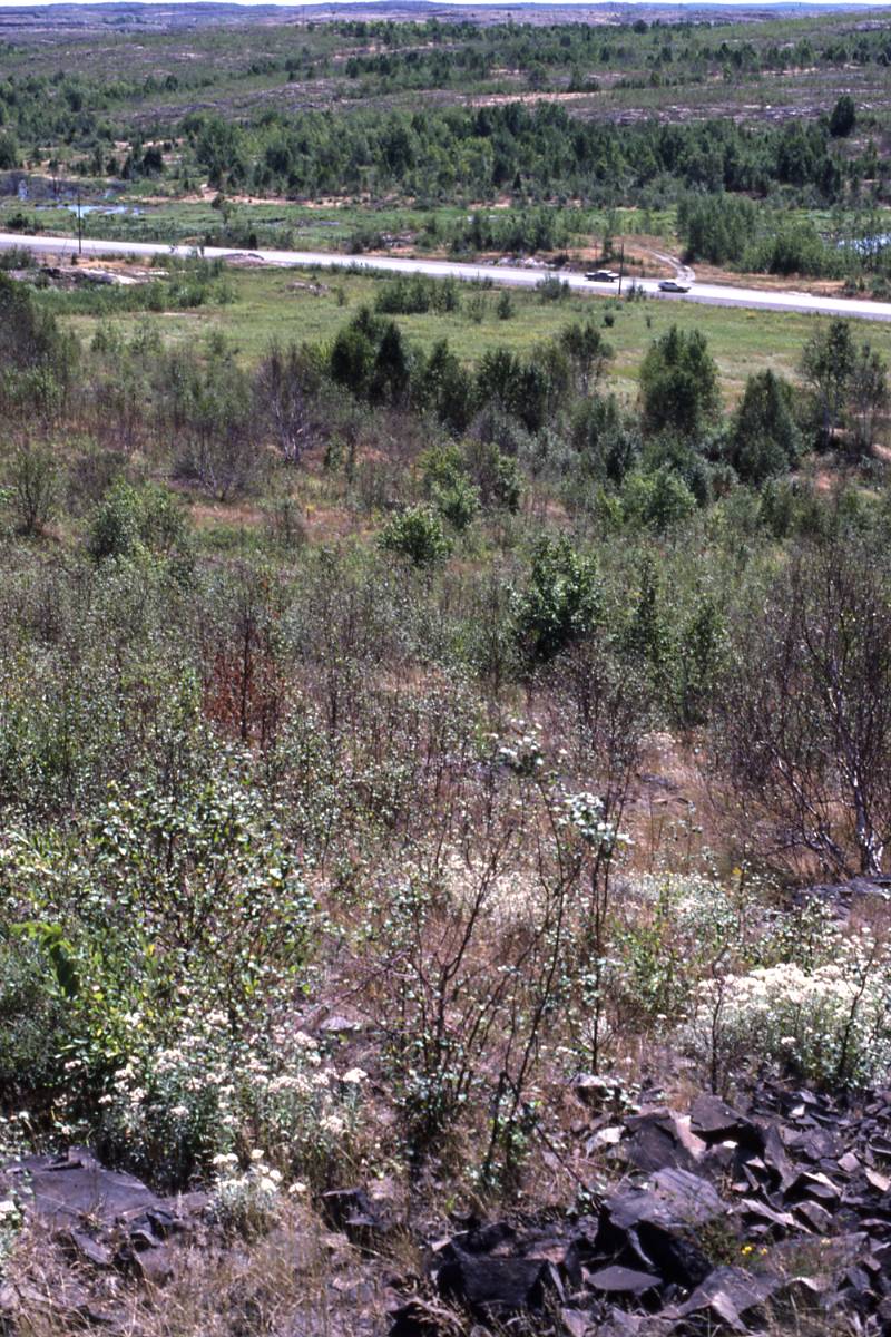 View/Open |
Items in LU|ZONE|UL are protected by copyright, with all rights reserved, unless otherwise indicated.