Please use this identifier to cite or link to this item:
https://zone.biblio.laurentian.ca/handle/10219/1464Full metadata record
| DC Field | Value | Language |
|---|---|---|
| dc.contributor | Winterhalder, Keith | en_CA |
| dc.coverage.spatial | Copper Cliff | en_CA |
| dc.coverage.spatial | 144, from top of high rock (near hydro pole) on east side rock on curve before hill up to Murray Mine, looking towards superstack. Vertical. | en_CA |
| dc.coverage.spatial | 144 | en_CA |
| dc.date.accessioned | 2014-10-24T19:38:45Z | - |
| dc.date.available | 2014-10-24T19:38:45Z | - |
| dc.date.created | 1981-10-09T12:00-04:00 | en_CA |
| dc.date.issued | 2014-10-24 | - |
| dc.identifier | 884 | en_CA |
| dc.identifier.uri | https://zone.biblio.laurentian.ca/dspace/handle/10219/1464 | - |
| dc.title | RECL 113 - 9-Oct-81 | en_CA |
| dc.type | Image | en_CA |
| Appears in Collections: | Keith Winterhalder Land Reclamation Photos | |
Files in This Item:
| File | Description | Size | Format | |
|---|---|---|---|---|
| Keith_Winterhalder_Sudbury_Land_Reclamation0884m.jpg | 77.89 kB | JPEG | 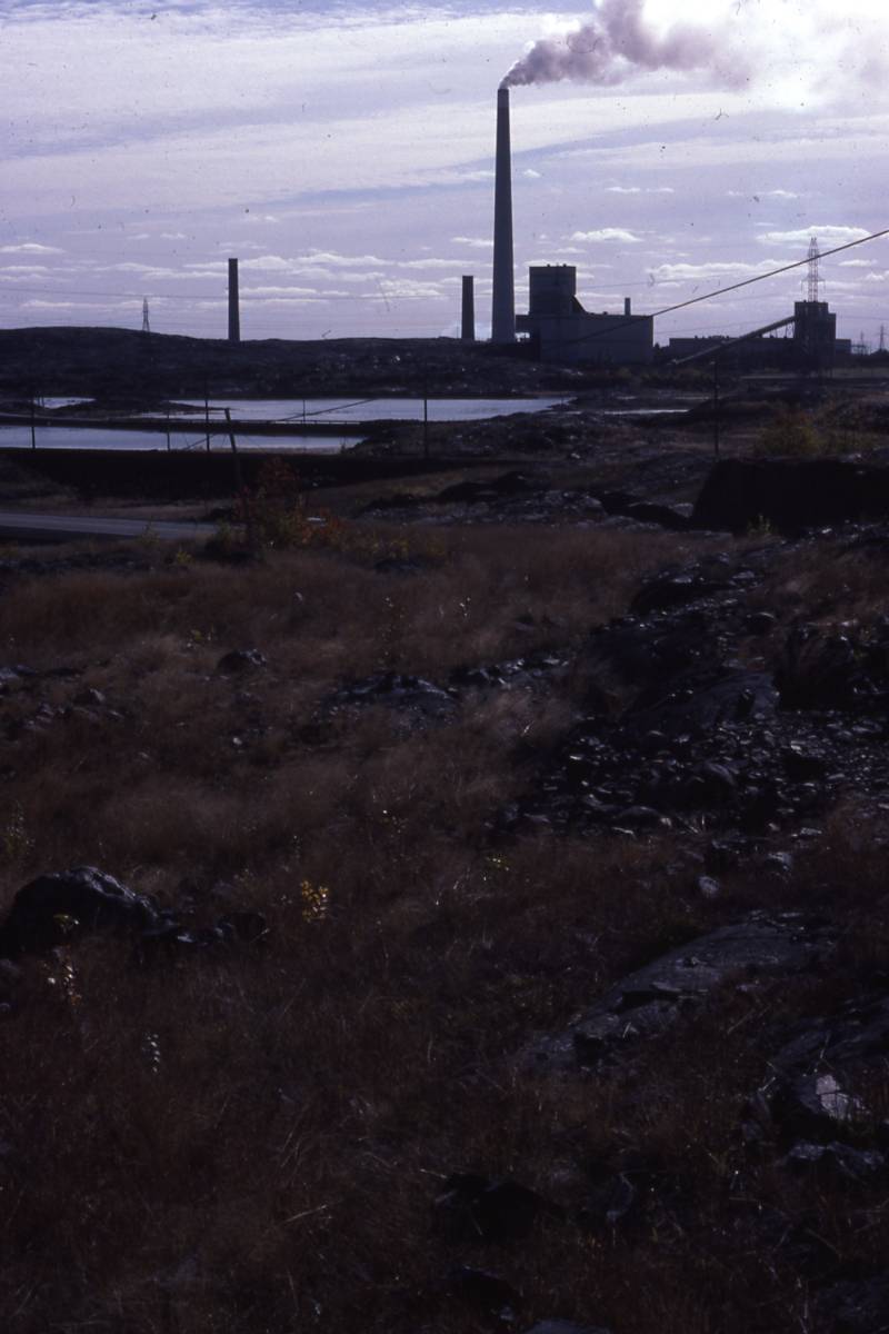 View/Open |
Items in LU|ZONE|UL are protected by copyright, with all rights reserved, unless otherwise indicated.