Please use this identifier to cite or link to this item:
https://zone.biblio.laurentian.ca/handle/10219/1400Full metadata record
| DC Field | Value | Language |
|---|---|---|
| dc.contributor | Winterhalder, Keith | en_CA |
| dc.coverage.spatial | Wahnapitae | en_CA |
| dc.coverage.spatial | Stanfield site, looking up line of stones, northeast from split black boulder. Vertical. | en_CA |
| dc.coverage.spatial | S-F | en_CA |
| dc.date.accessioned | 2014-10-24T19:38:42Z | - |
| dc.date.available | 2014-10-24T19:38:42Z | - |
| dc.date.created | 1980-07-30 | en_CA |
| dc.date.issued | 2014-10-24 | - |
| dc.identifier | 826 | en_CA |
| dc.identifier.uri | https://zone.biblio.laurentian.ca/dspace/handle/10219/1400 | - |
| dc.title | RECL 104 - 30-Jul-80 | en_CA |
| dc.type | Image | en_CA |
| Appears in Collections: | Keith Winterhalder Land Reclamation Photos | |
Files in This Item:
| File | Description | Size | Format | |
|---|---|---|---|---|
| Keith_Winterhalder_Sudbury_Land_Reclamation0826m.jpg | 155.95 kB | JPEG | 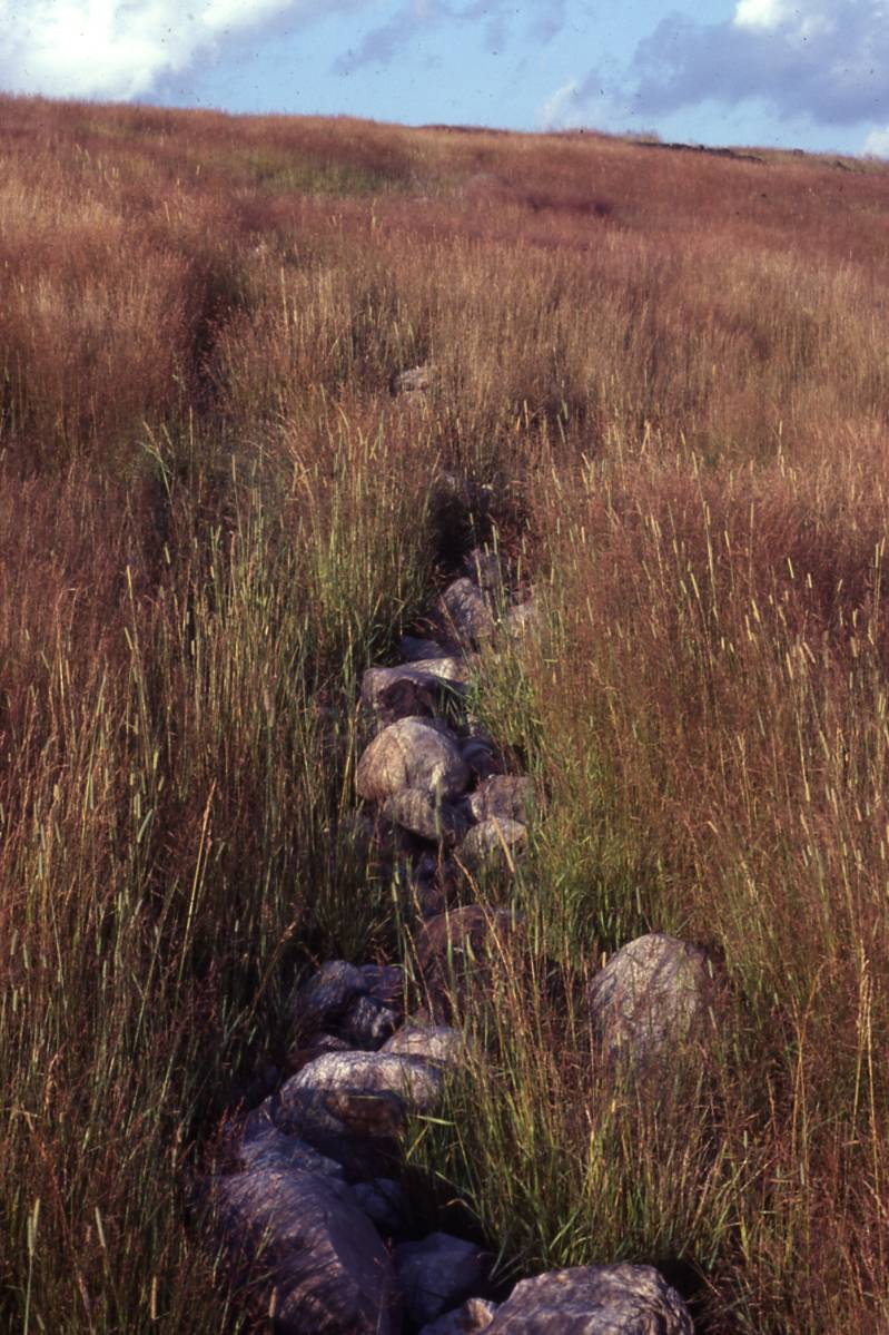 View/Open |
Items in LU|ZONE|UL are protected by copyright, with all rights reserved, unless otherwise indicated.